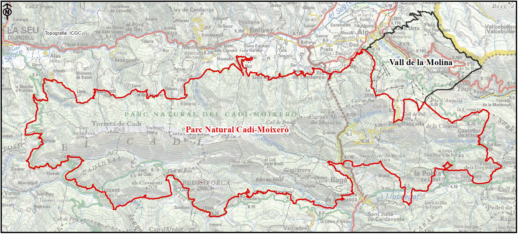
The habitats map of Cadí and Moixeró range, Pedraforca massif, and La Molina valley
The
Natural Park of Cadí_Moixeró, with more than 41,000 ha, is located between L'Alt Urgell, La Cerdanya and El Berguedà. The habitats mapping began in 2007 in the
Natural Interest Area of Pedraforca massif, and has been completed in 2015 after 9 years.
The realization was done using the ortophotomaps (1:5,000 and 1:2,500) of the
Cartographic Institute of Catalonia (infrared and colour) and the fieldwork was conducted in Spring and Summer of the years in which the project has been carried out. The legend consists of CORINE units cited and explained in the
Catalan Habitats Manual. The cartographic information is structured in two layers, one of polygons and another of points. Each of which contains the information of the CORINE Habitats and the European Union Habitats of Interest (HCI). The minimum area for polygons has been set to 0.2 hectares. Habitats which occupy less surface, are represented as points.
We present the general report and the map of the natural park as well as the valley of La Molina, a sector that was mapped in 2011 and which is outside the boundaries of the protected area.
Authors: Jordi Carreras (with the collaboration of Artur Lluent).
Implementation period: 2007 to 2015.
Delivery Date: 2015.
Natural Park. Mapping report
[
PDF]
Vall de la Molina. Mapping report
[
PDF]
Grup de Recerca de Geobotànica i Cartografia de la Vegetació
Universitat de Barcelona. Facultat de Biologia
Avinguda Diagonal, 643. 08028 Barcelona
Tel.:934 021 476 - Fax: 934 112 842
jninot@ub.edu