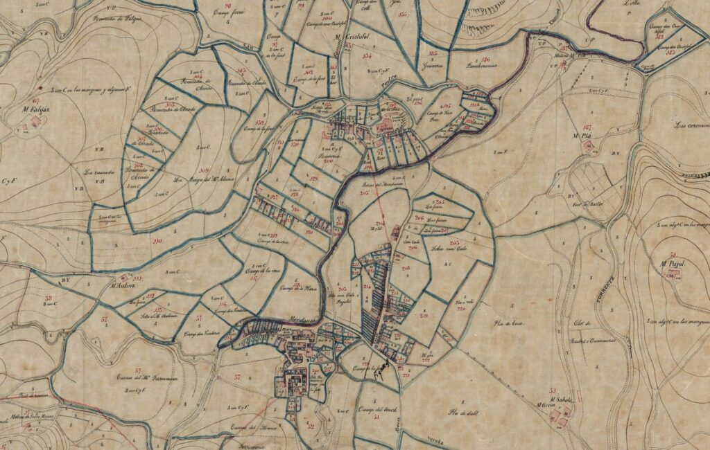
Description:
NADAL F.; BURGUEÑO J. (2023) “La documentación cartográfica de la Contribución de inmuebles, cultivo y ganadería: el caso de la provincia de Girona (1849-1885)“, Estudios Geográficos, Vol. 84 Núm. 295.
The introduction and management of Land Tax implemented in Spain due to Tax Reform of 1845 generated a vast number of tax documents during the second half of the 19th century. Amongst these documents there were wealth registers, amillaramientos (tax assess-ments) and too, in some Provinces, municipal cadastral maps. In this article is analysed the municipal cadastral cartography produced in the province of Girona due to implementing of this tax. For this purpose, cartographic and tax documents preserved in public and private local archives in the province of Girona have been consulted. The cadastral cartography documents that were found have been analysed by com-paring them with the municipal cadastral cartography from the Balearic, Barcelona and Tarragona provinces, whose cartography has been the target of several studies in recent years. As a result of this research, a total number of 46 different municipal cadastral maps, which cor-respond to 44 municipalities from the province of Girona, have been classified. These cartographic documents were created by a varied group of local land surveyors and architects. Mappings started after 1857 due to increased Land Tax quota introduced that year in the province of Girona, as well as the following process of rectifying amillaramientos ordered by the Treasury. The cadastral cartography of the province of Girona presents some differential characteristics with respect to other Catalan provinces, such us the use of a larger scale.
https://estudiosgeograficos.revistas.csic.es/index.php/estudiosgeograficos/article/view/1175
