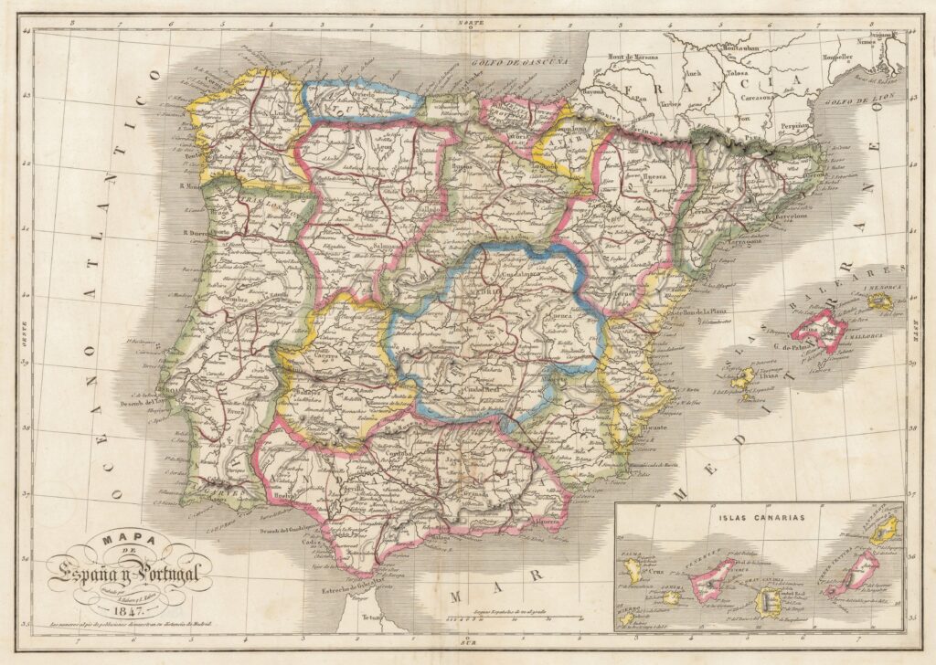
Description:
https://storymaps.arcgis.com/collections/968f6459a645438fb3c7d274bf14a315
Website where we present the main maps, printed or handwritten, produced between 1765 and 1865, in relation to the political-administrative division of the Spanish territory.
Between 1799 and 1834 the territorial division of Spain underwent a profound and eventful transformation, going from the thirty provinces existing in the 18th century to the current fifty. In between there were enlightened reforms around 1800, the French division of 1810 and the constitutional provincial division of 1822, which has celebrated its bicentennial. The last rectifications of provincial boundaries date from 1851.
The work of Tomás López is essential to understand the territorial organization of the end of the Ancien Régime. This author published provincial maps between 1761 and 1797. No less important was the Atlas de España y de sus posesiones de ultramar by Francisco Coello, which, although incomplete, managed to present on a detailed scale (1:200,000) the configuration of a good number of provinces, between 1847 and 1870.
The work of both authors, López and Coello, frames our period of study. With them, the unpublished division projects deserve special attention, the maps by Donnet that made the ephemeral division of 1822 known to the world, the provincial atlases intended to disseminate the new provincial division of 1833 (Dufour, Alabern-Mabon, Martín Ferreiro…).
