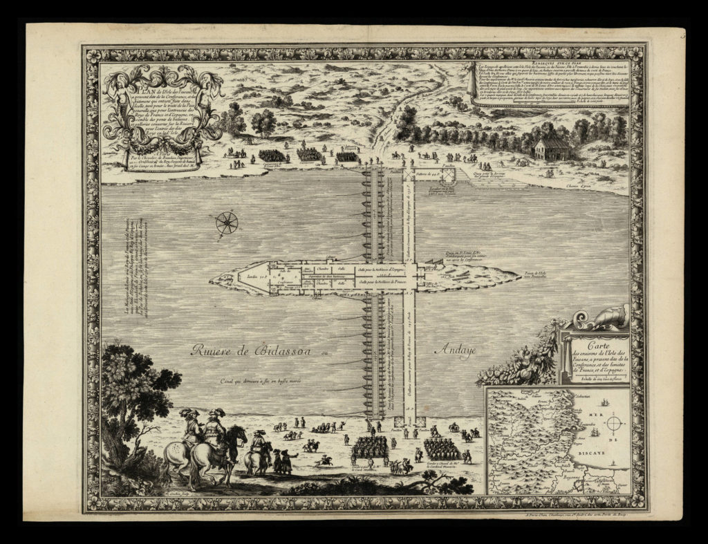
Cartography, delimitation and geopolitics in Spain (17th-19th centuries)
The general objectives of the research project are aimed at generating knowledge around the cartographic expression referring to the territorial delimitation of Spain, at its various levels of administration: regional, provincial, regional and municipal. The chronological period is broad, although the emphasis is placed on the century of the great changes in the political map of the country: the 19th century.
Project managed by the Universitat de Lleida:http://cdge.udl.cat
