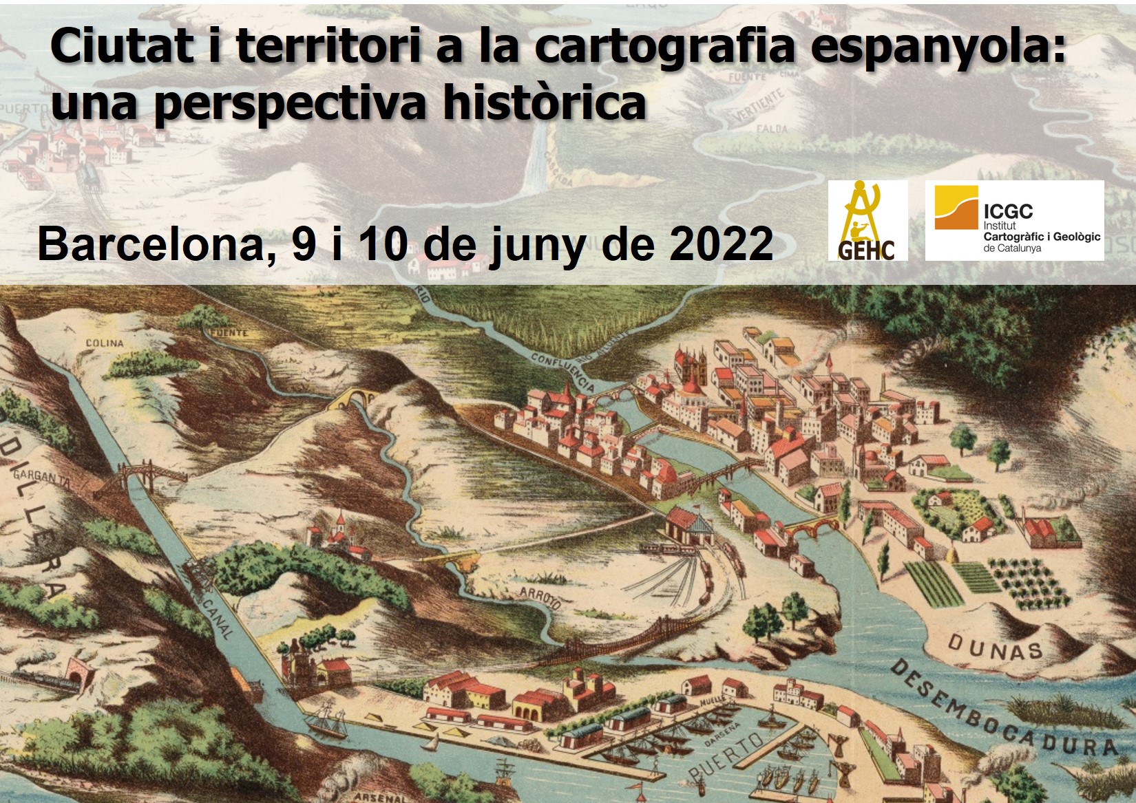
City and territory in Spanish cartography: a historical perspective
The present research project is a continuation of the previous one, focused on the study of urban cartography in Spain. However, havin the urban fact as the main goal, this project propose to wide the research to administrative cartography og regional area. A type of cartography made in cities, being its main goal the representation of a territory administered from different urban institutions. For this reason, it has proposed as title of this project: “City and territory in Spanish cartography: a historical perspective”. The research made in the two previous projects offered goals, whose accomplishment will contribute to have a better knowledge of history of Spanish urban cartography. Goals that, in the case of this project, will include also administrative cartography. Because of that, the research effort will focus on five areas: 1) urban views (16th-17th centuries); 2) militar cartography (17th-19th centuries); 3) municipal urban cartography (19th century); 4) urban cartography made by the Spanish National Institute; and, 5) administrative cartography (diocesan maps). Regarding militar urban cartography, three aspects will be studied: a) militar cartography of siege of Barcelona in 1697; b) urban cartography of Spanish militar engineers and the new role of cities (1840-1880); and, c) beginning of Spanish topographic militar cartography.
Goals
1 – Critic analysis about a group of views, that overcomes the current phase of knowledge of descriptive character.
2 – Study of three different sets of urban militar cartography of Spain made in different historic periods.
3 – Study of municipal urban cartography made in different municipalities of Barcelona and Gerona.
4 – Understanding of motivations, organizational scheme, technical methodology and work conditions that defined the production of population maps of National Geographic Institute.
5 – To cartography the set of diocesan peninsular demarcation.
