The New Zealander Jean-Baptiste Piggin proposes the project Tabula Peutingeriana Animated Edition, a new interactive visualization in a diagram way of the Tabula Peutingeriana, an itinerary of roman communication net made in the 4th century and we know from medieval copies. In Piggin Macro-Typography blog explains the reasons. It comes down to a destacable effort to analyze in […]
News
It has just published the book Historia de la cartografía urbana en España: Modelos y realizaciones. It takes every contribution made in the coloquium Modelos de la cartografia urbana española: un análisis histórico that took place in Barcelona in February, 2017 and that was organized by the GEHC and the Museo de Historia de Barcelona. In this work […]
The next International Cartographic Conference (ICC) will have place in Tokyo on July, between 15th and 20th of 2019 and it has opened a call for papers to participate (see the second call for papers of ICC). This will be the 29th edition of ICC, the main event of cartographic world that the International Cartographic Association (ICA) organized each two […]
Until April 2019, 20th, the exhibition De Iberia a España a través de los mapas can be visited in the National Geographic Institute (IGN) in Madrid. The exhibition shows a historic path of cartographic representations in Spain and has 80 pieces between maps, city views and books or atlases, the most part original. The schedule in from Monday […]
The programme of American Geographical Society Grants (AGS) Library Research is designed to offer to researchers an opportunity to continue their work helping them to access to primary sources of high level. Each year are given between four and eight grants for periods among two and four weeks. Any qualified research can access and the main criteria […]
On July, 12th of 2019, it will take place at the University of Utrecht the workshop Controlling the Waters: Seas, Lakes and Rivers on Historic Maps and Charts. The theme will focus on the representation of cartographic heritage, from marine masses to river network; may be with the aim of managing them or risk, or in order […]
Harley grants consist of a help for working in the area of history of cartography from the collections of ancient maps that exist in United Kingdom. The grant can arrive to 2.000,00 €. The deadline to present the proposals is the next November, 1st. Moreover, for the period 2018-2020 it is announced an additional grant promoved by […]
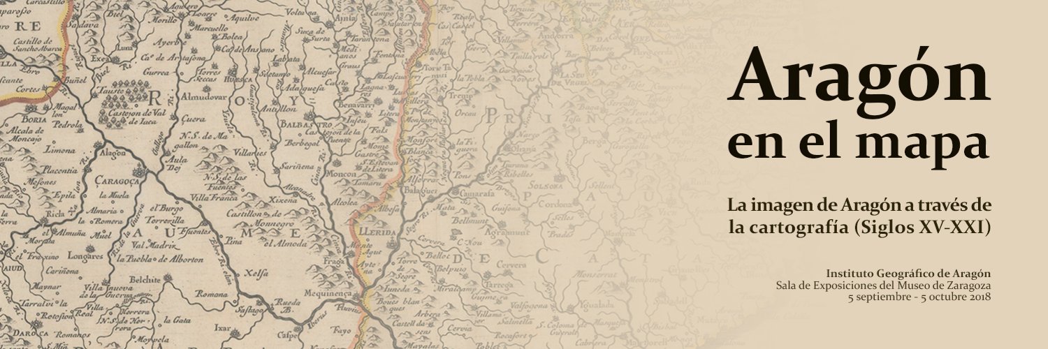
Until October, 5th, public can visit the exhibition Aragón en el mapa: la imagen de Aragón a través de la cartografía (Siglos XV-XXI) in the Zaragoza Museum. It is organized by the Geographical Institute of Aragón (IGEAR) and it is a set of around 70 maps of different times of the Aragon Autonomous Comunity. The idea is appreciated the […]
The Newberry Library opens its annual announcement of grants for research in two modalities: Postdoctoral grants of long duration in order to be among 4 and 9 months. The amount is 4200$ per month. These grants are thought to promote individual academic research and a quality intelectual exchange though the active participation in the grant program. The deadline is […]


