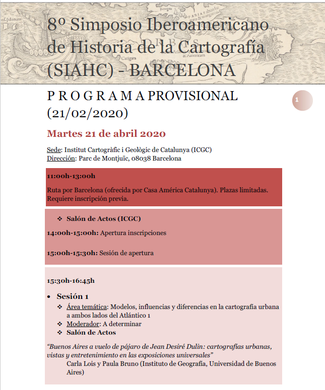
The provisional program of the 8 Ibero-American Cartography History Symposium (SIAHC), which will be held in Barcelona from April 21 to 24, 2020, is now available. It will be organized by the Institut Cartogràfic i Geològic de Catalunya (ICGC) with the collaboration of the Grup d’Estudis d’Història de la Cartografia (GEHC). The theme chosen for […]
News
On Tuesday, February 25, at 11:00 in the Aula Magna of the Faculty of Geography and History, our GEHC companion, Bárbara Polo Martín, will defend her thesis History of urban cartography of Burgos: 19th and 20th centuries. The central hypothesis is that the urban planimetry since the end of the 19th century in Burgos, which […]
The Diccionari de mapes parcel·laris i agrimensors a Catalunya(segles XVIII-XIX) prepared by the Grup d’Estudis d’Història de la Cartografia (GEHC) is now available for consultation. This dictionary aims to be a contribution to the study of a professional group that has carried out an important cartographic, statistical and geographical work in Catalonia: that of land […]
Within the framework of the research work Coloured Maps (2018-2021) financed by the German Federal Ministry of Education and Research (BMBF), several institutions in Hamburg organize a conference to deal with the material substrate and the meaning of colours from different cultural approaches in cartography. We will talk about maps and colours, methods and discourses, […]
From January 30 to April 19, 2020, the exhibition Mapes, país, futur: centenari de l’exposició cartogràfica Catalana (1919) [Maps, country, future: centenary of the Catalan cartographic exhibition (1919)] can be visited at the Museu d’Història de Catalunya. The centenary of the exhibition organized by the Centre Excursionista de Catalunya in 1919 is commemorated. Many of […]
Next Wednesday, January 29, 2020, at 6:30 p.m., the posthumous book by Tomàs Vidal: Enciclopèdia de Menorca. Tom vint-i-unè. Cartografia històrica will be presented at the Pi i Sunyer Room of the Institut d’Estudis Catalans (Carme, 47, Barcelona) as an act in memory of GEHC member Tomàs Vidal (1941-2019). They will intervene: Vicenç M. Rosselló […]
Within the documentary series Guardianes del Patrimonio produced by RTVE, we want to highlight this episode broadcast by La2 on January 18, 2020. It deals about the theft of, among other documents, two world maps extracted from two incunabula of Ptolemy’s work in August 2007. The documents were recovered, with some damage, and the culprits […]
The Commission on Cartographic Heritage into the Digital of the International Cartographic Association (ICA) organizes, in collaboration with the Department of Cartography and Geoinformatics, ELTE Eötvös Loránd University in Budapest, a conference to discuss the state of the art in automatic vectorization of old maps, with particular emphasis on the use of free and open […]
The Fuller projection, or Dymaxion Map, can also be a great Christmas ornament. Seen in The Map Room and made by John Nelson.
Until February 21, the exhibition Latitude: Persuasive Cartography can be visited at the Carl A. Kroch Library at Cornell University (Ithaca, New York). It is a collection of “persuasive” maps, that is, of maps designed primarily to influence opinions and beliefs instead of communicating geographic information. They use various tools and strategies (unusual projections and […]


