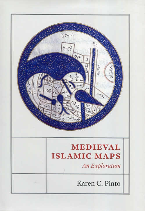
The historian Karen C. Pinto has just published Medieval islamic maps. An exploration (University of Chicago Press, 2016), a deep exploration of Medieval Islamic Cartography since X midcentury to XIX century.
Its analysis focuses on collecting known maps as Llibre de Carreteres i Regnes (Kitab al-Masalik wa al-Mamalik, o KMMS).
This work is studied since three angles: iconography, context and sponsorship. It describes the creation and evolution, it identifies the creators, artists and involved clients and it links the reality of physic and social world that they want to represent.
Pinto approachs visual register of Islam history using new historial analysis tools, exploring how medieval muslims perceive themselves and its world, and takes the maps of Middle East to vanguard in the study of history of cartography.
You can get the book in Marcial Pons.

