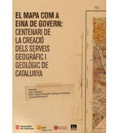
The map as a tool of government: centenary of the establishment of geographical and geological services of Catalonia
Exhibition commemorating the centenary of the start of geographic and geological services, organized by the Institut Cartogràfic i Geològic de Catalunya and the Diputació de Barcelona, within the celebration of the Centenary of the Mancomunitat (regional government of Catalonia 1914-1923). The exhibition was open from 11 February to 9 December 2015 at the headquarters of the Institute in Montjuïc (Barcelona).
In 1914, the Diputació of Barcelona, in the framework of the Mancomunitat and under the scientific supervision of the Institut d’Estudis Catalans created a geographic service and a geological service to publish a map of Catalonia at a scale 1: 100 000 in three versions: geographical, geological and agronomical. This map had to have a dual use: as a government tool and as a symbol of Catalonia. Unfortunately, the abolition of the Mancomunitat came when the publication of the map had just begun, and it has been published only a few sheets. However, the geographical version of the map, remained alive until the 1940’. At the end in 1942, the map was not finished: only 11 geographical sheets and 5 geological sheets of the total 42 were published. Instead, the mapping service, through various stages, has continued until today in the Institut Cartogràfic i Geològic de Catalunya.
This exhibition showed the work done in successive stages of this map service with the original documentation, now preserved at the Map Library of the Institut Cartogràfic i Geològic de Catalunya. The on-line version of the exhibition: http://mapamancomunitat.icgc.cat/inici/
The catalogue: (link to the bibliographical file).


