
Spanish Civil War Maps (1936-1939)
A travelling exhibition mounted by the Map Library of the Cartographic Institute of Catalonia with Carme Montaner, Francesc Nadal, and Luis Urteaga as commissaries.
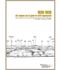
The exhibition was organised by the Cartographic Institute of Catalonia and the Directorate General for Democratic Memory (Direcció General de la Memòria Democràtica), with the collaboration of the Secretariat for Universities and Research. The exhibition was first presented at the head office of the Cartographic Institute of Catalonia, January 24th-March 30th 2007.
To celebrate the exhibition, the Cartographic Institute of Catalonia published a catalogue, in a bilingual Catalan-Castilian edition, with texts by the commissaries and by the geographer Felipe Fernández from the University of Oviedo: Els mapes en la guerra civil espanyola, 1936-1939 (Barcelona, 2007). The catalogue has been reedited with different pagination, by the Government of Aragon (Zaragoza, 2007).

After showing in Barcelona, the exhibition was presented in the following cities:
- Sevilla, May 31st – July 8th 2007.
- Zaragoza, September 6th – 28th 2007.
- Huesca, October 5th – 21st 2007.
- Teruel, October 26th – November 16th 2007.
- Granada, November 29th – December 21st 2007.
- Málaga, January 13th – Februray 3rd 2008.
- Jaén, Februray 11th – March 6th 2008.