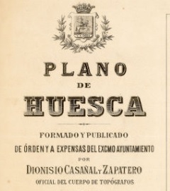
Huesca, 1891-2016. The urban map of Dionisio Casañal and the Mariano Morlans photographs
The History of the Cartography Study Group (GEHC) has been one of the collaborating entities in this exhibition organized by the Huesca City Council, with the aim of announcing the map of Huesca that surveyed the topographer Dionisio Casañal and Zapatero in 1891. The plan, for its precision and information, is a reference tool to kwow the Huesca of the time.
The exhibition has gathered a sample of the documents that compose Dionisio Casañal’s work (the general plan at the scale of 1: 2,500; sheets at a scale of 1: 500 and 1: 1,000, albums, folders and notebooks with field drafts, the calculations carried out, letters crossed between Casañal and the Town hall; etc.), as well as images of other cartographic works carried out by the prolific surveyor.
At the same time, a set of unpublished photographs by Mariano Morlans, taken around 1901, have been exhibited, which allow to travel through the streets and squares traced by Casañal.
On the opening day, José Luis Villanova, a member of the GEHC and one of the curators of the exhibition, gave a lecture on the complicated process of contracting the map, its characteristics and the problems that the author had to charge the work.
The exhibition was held between 10th and 27th November 2016, in the building of the Oscense Circle (triptych).
Maps and other related documents could be consulted on this website: http://www.huesca.es/areas/archivo-municipal/plano-1891/
Video on the original cabinet in which Dionisio Casañal gave up his job. 1891, Urbanismo. Ayuntamiento de Huesca


