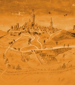
[Carto]graphy: Visual witness of Lleida’s countryside throughout history (13th-19th centuries)
Exhibition carried out by the Institut d’Estudis Ilerdencs (IEI), promoted and coordinated by its Service of Archive and Legacies (Abigail Sagarra and Sílvia Farrús) and with Jesús Burgueño (University of Lleida) as comissary.
First exhibited in the headquarters of the IEI in Lleida (February 20th – April 15th 2009), later the exhibition will travel to other towns like Balaguer or Cervera (2009).
To celebrate the exhibition, the IEI published a catalogue [Carto]grafia. Testimoni visual de les terres de Lleida a través del temps (segles XIII-XIX), which includes twentieth reproductions of engravings as well as a DVD named “From the parchment to the Google Earth”.
Together with an extensive selection of the engravings collection of the IEI Archive (with works of Beaulieu, Laborde, Suchet, Parcerisa…) this exhibition also has showed some great handwritten pieces, coming from other archives, as now: the parchment of the river Corb (1580) preserved in Vallbona de les Monges, the project of canal of irrigation and navigation from the Urgell plane to Tarragona, of Sinibald de Mas (1786), the map of Ribalera (Pyrenees) of F. Renart (1788), the topographical map of Lleida carried out by french cartographers in 1825, maybe the first one in Spain with contour curves, the cadastral map of Albesa, a work of P. Moreno Ramírez (1857), or the unedited draft of the provincial map of Lleida of F. Coello (ca 1860).


