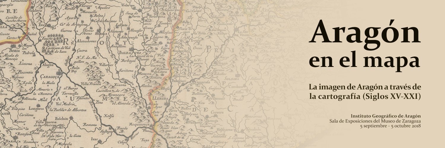
Until October, 5th, public can visit the exhibition Aragón en el mapa: la imagen de Aragón a través de la cartografía (Siglos XV-XXI) in the Zaragoza Museum.
It is organized by the Geographical Institute of Aragón (IGEAR) and it is a set of around 70 maps of different times of the Aragon Autonomous Comunity. The idea is appreciated the evolution of territorial representation of Aragón from 15th century to nowadays.
Among the main works, it must be highlighted the Map of the Kingdom of Aragón, of Juan Bautista Labaña, a charge of the Deputation of the Kingdom of Aragón, made between 1610 and 1615 and engraved in Madrid at the end of 1619 in six copper plates.

