Until October 30, you can visit the 300 aniversario de la Real y Militar Academia de Matemáticas de Barcelona exhibition organised by the Centro de Historia y Cultura Militar Pirenaico, attached to the spanish Army. The exhibition traces the history of the Academia, founded in 1720, and contains reproductions of collections from the Archivo General Militar de Segovia […]
News
The Royal Collection Trust has published over 2,000 military maps, plans, drawings and prints from the George III Collection online. It has been a way of commemorating the two hundredth anniversary of his death. The collection brings together pieces from the 16th to the 18th century and includes representations of sieges and battles, field sketches, […]
The Biblioteca Virtual de Defensa has just released a new website about cartography of Cuba, which contains more than 5300 maps, plans and interesting files kept, mostly, at the Archivo General Militar de Madrid. Moreover, there are contributions from the Archivo Cartográfico y de Estudios Geográficos del Centro Geográfico del Ejército and from the Archivo del Museo Naval. Most of this cartography […]
The Institut Cartogràfic i Geològic de Catalunya (ICGC) has published the Recueil des Plans du Roussillon, de Catalogne, des Chasteaux, Villages, Eglises, Chapelles & Maisons, a compendium of city maps, towns and fortifications made up by the French Army during the War of succession, collected by Jacques Pennier in 1719 under the form of atlas. The […]
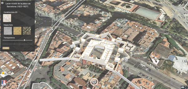
The next December 12, Thursday, it will take place in the Geologic and Cartographic Institut of Catalonia (ICGC), between 09:30 and 12:30, the Journey of presentation about the georeference and 3D modeling of the map of Barcelona plain made by the French army between 1823 and 1827. The Lever-nivelé (1823-1827) encompasses the fortified area of Barcelona and highlights by […]


