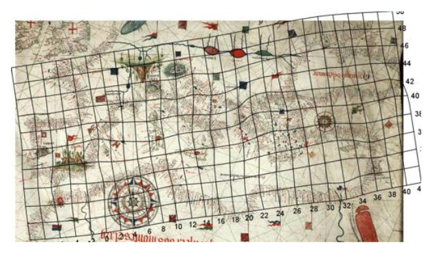
It is just available the programming of the Second International Workshop On the Origin and Evolution of Portolan Charts that will take place in the Instituto Hidrográfico of Lisbon on June, 7th and 8th. The meeting is organised by the Centro Interuniversitário de História das Ciências e da Tecnologia (CIUHCT) and it will focus on different aspects of the research about medieval portolans: current state […]
News
February 2018, from 27 to 28 it will have place in the Instituto de Estudios Canarios (IECAN) the seminar Edad Media, Atlántico e insularidad atlántica: nuevas perspectivas. There it will reflect about the knowledge and perception of the Atlantic before the discovery of America and ancient cartography will be one of the sources to work with. Further […]
It is offered a fellowship to do the PhD in History of Cartography in the framework of the European project “MEDEA-CHART: The Medieval and Early-Modern Nautical Chart: Birth, Evolution and Use”. The work place will be in the Faculdade de Ciências de la Universidade de Lisboa (FCUL), but it will require frequently to visit national archives […]
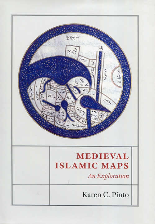
The historian Karen C. Pinto has just published Medieval islamic maps. An exploration (University of Chicago Press, 2016), a deep exploration of Medieval Islamic Cartography since X midcentury to XIX century. Its analysis focuses on collecting known maps as Llibre de Carreteres i Regnes (Kitab al-Masalik wa al-Mamalik, o KMMS). This work is studied since three angles: iconography, context and […]
Days of 6 and 7 of June of 2016 it will take place the first International Workshop “On the Origin and Evolution of Portolan Charts” in the Museu de Marinha of Lisbon. The meeting is organised by the Centro Interuniversitário de História das Ciências e da Tecnologia (CIUHCT) and it will focus on different aspects of the research about […]


