The last November 25th a part of the Grup d’Estudis d’Història de la Cartografia (GEHC) visited the exhibition “Huesca y el plano de Dionisio Casañal” at the Círculo Oscense of the city. In this link there is more information. At the photohtaphy, left to right, José Luis Urteaga, José Ignacio Muro, Francesc Nadal, Joan Capdevila i Jose Luis Villanova, who is one […]
News
This year it is celebrating the 125th anniversary of the “Plano de Huesca” of Dionisio Casañal and the Archivo Municipal of the city has prepared an exhibition to present it. About this map, made in 1891, is necessary to highlight its detail (he worked mainly in scale 1:500) and its state of conservation (the sheets can be consulted aquí). In […]
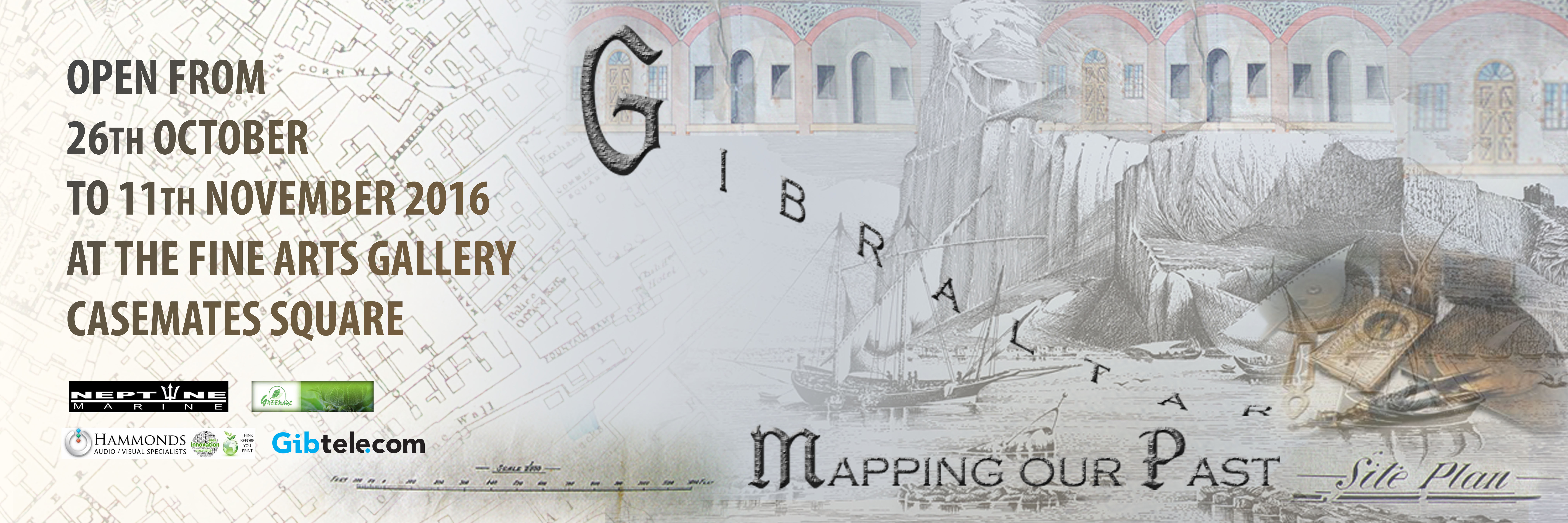
Until November 11th it can be visited the exhibition ‘Mapping our Past’ in the Fine Arts Gallery, Casemates Square, in Gibraltar. The exhibition is organized by Gibraltar National Archives and shows a selection of ancient cartography, as physic as digital format. More details and the exhibited maps can be consulted in the web.
The municipal library network of Chambéry, capital of the French department of Savoya, is making an interesting arrange of activities that link cartography and voyages. The main idea is the exposición «Agrandir le monde. Cartes géographiques & livres de voyages (XVe-XVIIIe siècle)», that can be visited until the 14 of January. The exhibition treats, between Middle Ages and XVIII […]
From 4 of November of 2016 to 1 of March of 2017 it can be visited the exhibition “Maps and the 20th Century: Drawing the Line” in the British Library. As of own deposits, the exhibition reviews the great themes and the more significant episodes of the XXth century based on the maps that explain them: […]
Until the next 2nd October it can be visited, in CaixaForum of Barcelona, the exhibition “Ming. L’imperi daurat“. It is about a showing of objects related to Ming dynasty, that governed the Chinese Empire since XIV century to XVII. The objects are from the museo de Nanquín. Between them we must highlight the 坤輿萬國全圖 (Kunyu Wanguo Quantu), the first Chinese World Map of european type. […]


