It is just available the programming of the Second International Workshop On the Origin and Evolution of Portolan Charts that will take place in the Instituto Hidrográfico of Lisbon on June, 7th and 8th. The meeting is organised by the Centro Interuniversitário de História das Ciências e da Tecnologia (CIUHCT) and it will focus on different aspects of the research about medieval portolans: current state […]
News
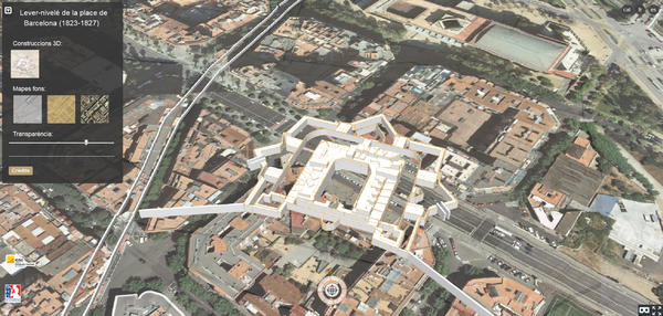
The next December 12, Thursday, it will take place in the Geologic and Cartographic Institut of Catalonia (ICGC), between 09:30 and 12:30, the Journey of presentation about the georeference and 3D modeling of the map of Barcelona plain made by the French army between 1823 and 1827. The Lever-nivelé (1823-1827) encompasses the fortified area of Barcelona and highlights by […]
The next meeting edition of experts in digital manipulation of cartographic heritage , la 13th Conference Digital Approaches to Cartographic Heritage (ICA DACH), will tale place inMadrid in April 2018, from 18 to 20. The place will be the Instituto Geográfico Nacional (IGN) with the colaboración of the Sociedad Española de Cartografía, Fotogrametría y Teledetección (SECFT). […]
The next 17 November it will take place, in thel Service historique de la Défense (Castle of Vincennes), the journeys about the study of Faire la carte et restituer le paysage, made by the Comité français de cartographie (CFC) and the Institut Cartogràfic i Geològic de Catalunya (ICGC). The journeys will center in two aspects: The changes in topographic […]
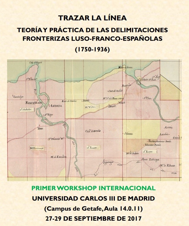
From 27 to 29 September 2017 the first International Workshop Trazar la línea. Teoría y práctica de las delimitaciones fronterizas luso-franco-españolas (1750-1936) will take place in Universidad Carlos III of Madrid (Campus de Getafe, 14 building). Among others, the GEHC members José Luis Urteaga, with the lecture El deslinde de la frontera del Protectorado español en Marruecos (1913-1935): crónica de un fracaso, and Joan […]
Now it is available the 27th International Conference on the History of Cartography (ICHC) schedule, that it will take place in Belo Horizonte (Brasil) between 9 and 14 July, 2017. The GEHC will participate through Carme Montaner, who will present the lecture Franciscan cartography of the Peruvian Amazon in the second half of the eighteenth century, and Bárbara Polo, with the poster Fortification projects […]


