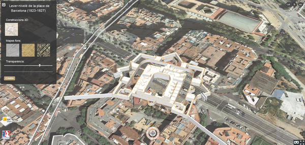
The next December 12, Thursday, it will take place in the Geologic and Cartographic Institut of Catalonia (ICGC), between 09:30 and 12:30, the Journey of presentation about the georeference and 3D modeling of the map of Barcelona plain made by the French army between 1823 and 1827.
The Lever-nivelé (1823-1827) encompasses the fortified area of Barcelona and highlights by its precision in the technical context of that time. The map has 54 sheets in a 1:1.000 scale with curves each meter.
The importance of the map has led to ICGC, in collaboration with the Service Historique de la Défense de Francia, to make a proyecto of digitalization, georeference and study of a base with spatial and a 3D model.

