Patterns in spanish urban mapping: a historical analysis
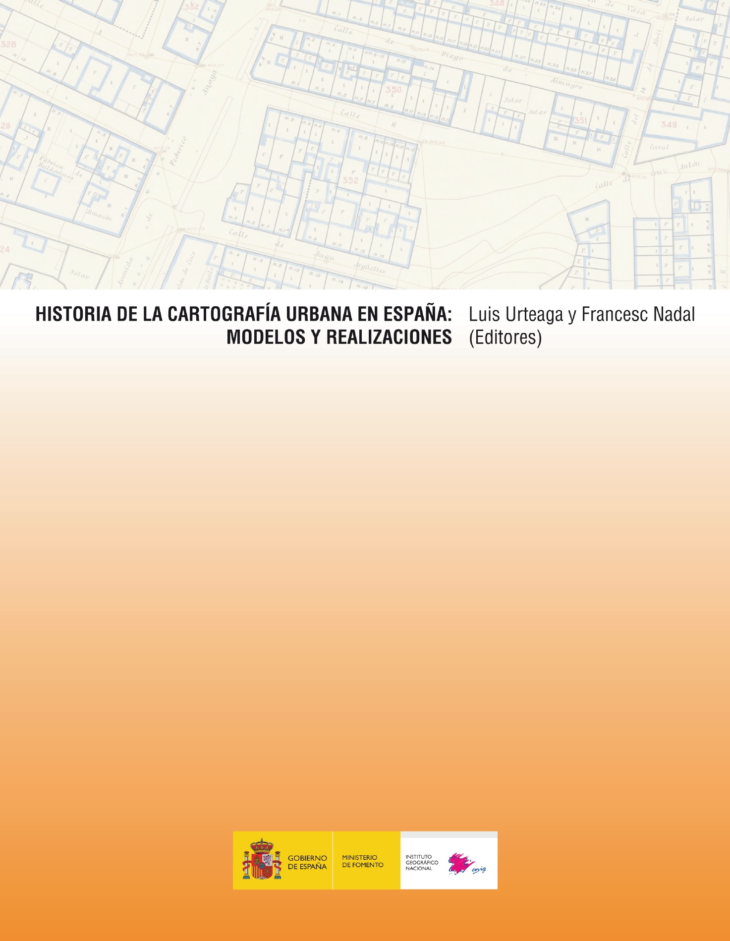
In the historical development of urban mapping is not possible to distinguish a single linear path and cumulative progress. Instead, the mapping of cities has evolved following different models or specific traditions, each of which has a peculiar origin, its own language and techniques and defining operational characteristics. In the case of Spanish cartography it is possible to distinguish between the sixteenth and nineteenth centuries four distinct traditions: the views of cities, urban military topography, urban cadastral surveying and town planning maps. The different types of urban maps formed in such large historical sequence only become fully understandable by considering their own tradition. The main aim of this research project is to study the genesis of these models or patterns of urban mapping, to describe its essential features and analyze their mutual influences. The central hypothesis is that urban surveying of the late nineteenth century, characterized by high precision, large-scale and thorough representation of the parcel, leveling and alignment, born at the confluence of three of the four models cited: the military surveying, cadastral surveying and town planning maps.
Aims
1 – To study the origin and diffusion of the views of cities. To analyze the urban views of the Spanish cities considering his process of production and the detail of his content.
2 – To analyze the path of the urban military cartography in Spain, paying particular attention to the corporate work of the Military Engineers and of the General Staff.
3 – To analyze the evolution of the town planning maps in Spain, and the main influences received. To study the alignment plans of streets and the geometric plans of populations considering his process of production, scale, and detail of his content.
4 – To study the evolution of the cadastral surveying, paying particular attention to the task developed by the General Board of Statistics and the Geographical and Statistical Institute.
5 – To develop an interpretive model on the origin of the modern urban mapping.
Conferences
- IV International Workshop history of Iberian cartography (2015)
- Third Conference of history of the cartography of Barcelona (2015)
- Patterns in spanish urban mapping: a historical analysis (2017)
