Customize Consent Preferences

We use cookies to help you navigate efficiently and perform certain functions. You will find detailed information about all cookies under each consent category below.

The cookies that are categorized as "Necessary" are stored on your browser as they are essential for enabling the basic functionalities of the site. ... 

Always Active

Necessary cookies are required to enable the basic features of this site, such as providing secure log-in or adjusting your consent preferences. These cookies do not store any personally identifiable data.

Functional cookies help perform certain functionalities like sharing the content of the website on social media platforms, collecting feedback, and other third-party features.

Analytical cookies are used to understand how visitors interact with the website. These cookies help provide information on metrics such as the number of visitors, bounce rate, traffic source, etc.

Performance cookies are used to understand and analyze the key performance indexes of the website which helps in delivering a better user experience for the visitors.

Advertisement cookies are used to provide visitors with customized advertisements based on the pages you visited previously and to analyze the effectiveness of the ad campaigns.

Notícies

11a Reunió Digital Approaches to Cartographic Heritage

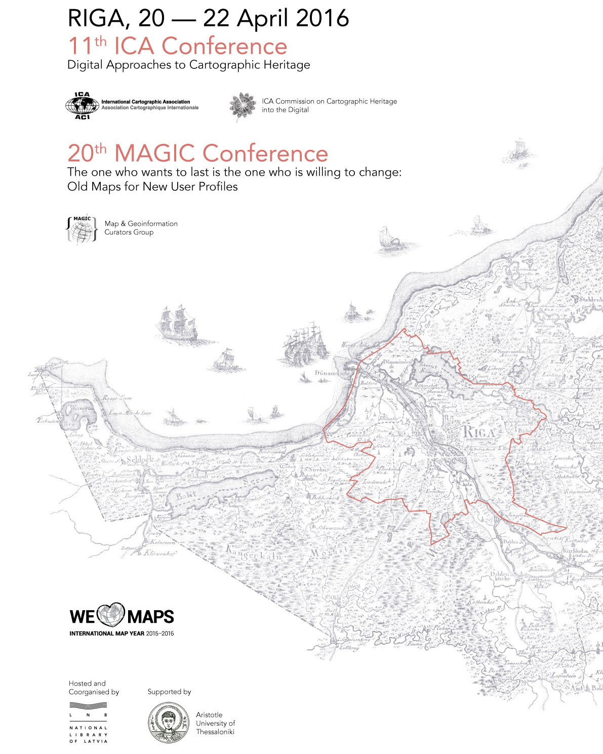
Del 20 al 22 d’abril es celebrarà a Riga (Lituània) la reunió sobre tecnologia digital aplicada al Patrimoni Cartogràfic que cada any organitza la comissió de l’Associació Internacional de Cartografia (ICA) Cartographic Heritage into the Digital, en la que participa Carme Montaner com a integrant del Comitè Científic.

L’edició d’enguany, anomenada 11th ICA Conference on Digital Approaches to Cartographic Heritage, ajuntarà més de 80 participants representant 70 institucions de 27 països d’Europa, USA, Xina i Japó. Estan planejades 53 presentacions orals en 8 sessions de treball relacionades amb estàndards d’intercanvi de dades i models de metadades, anàlisi geomètrica i de contingut temàtic, fonts d’arxiu textuals i cartogràfiques, digitalització i georeferenciació, visualització i distribució de mapes antics a Internet, visualització 3D, generació d’ortoimatges de fotografia aèria antiga, etc. Descarregueu-vos el programa aquí.

La trobada es fa conjuntament amb la 20th Conference “The one who wants to last is the one who is willing to change: Old Maps for New User Profiles” del Map & Geoinformation Curators Group (MAGIC).