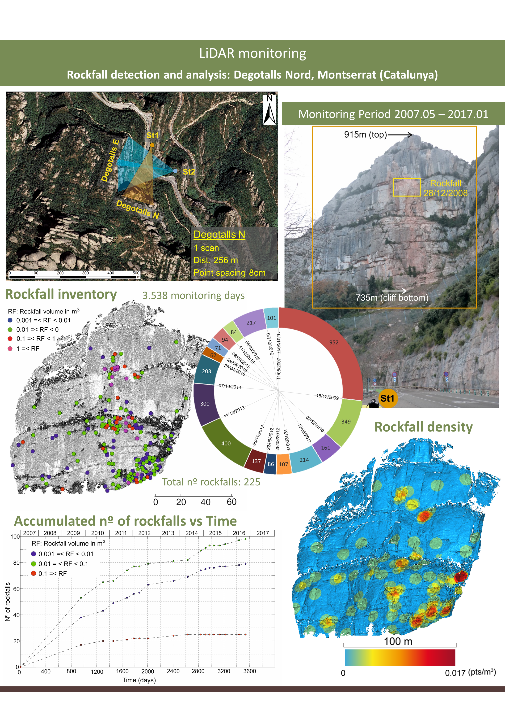
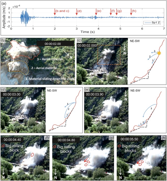
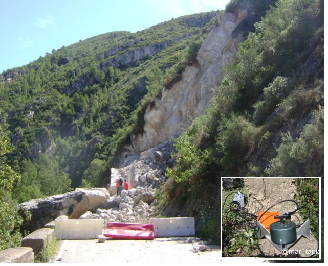
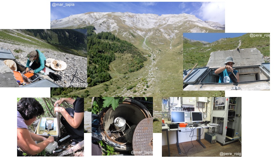
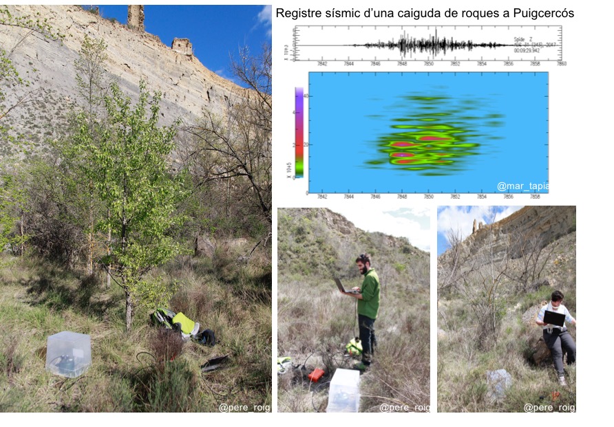
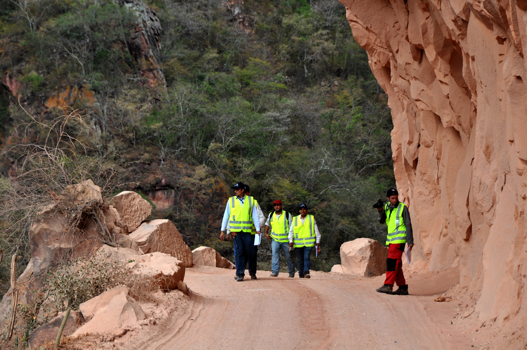
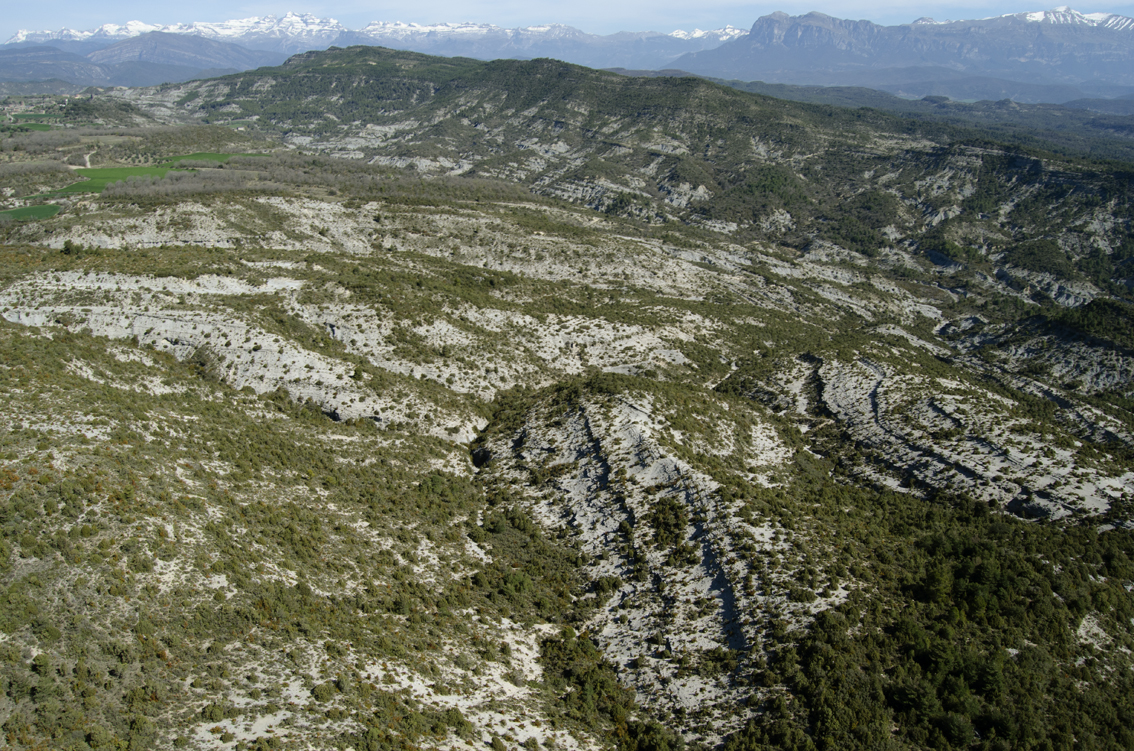
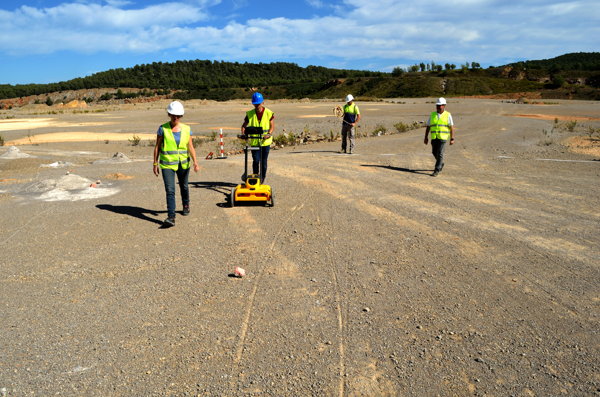
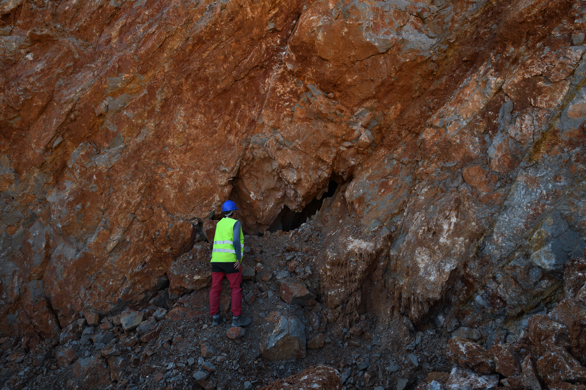
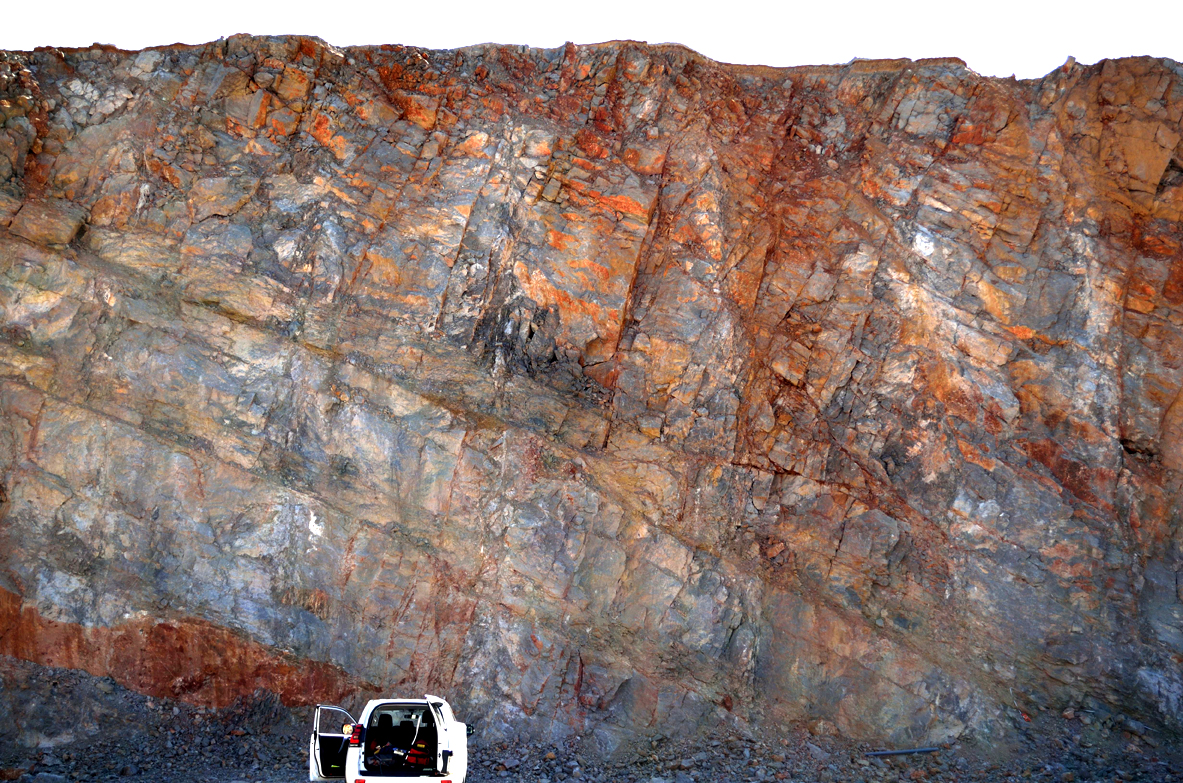
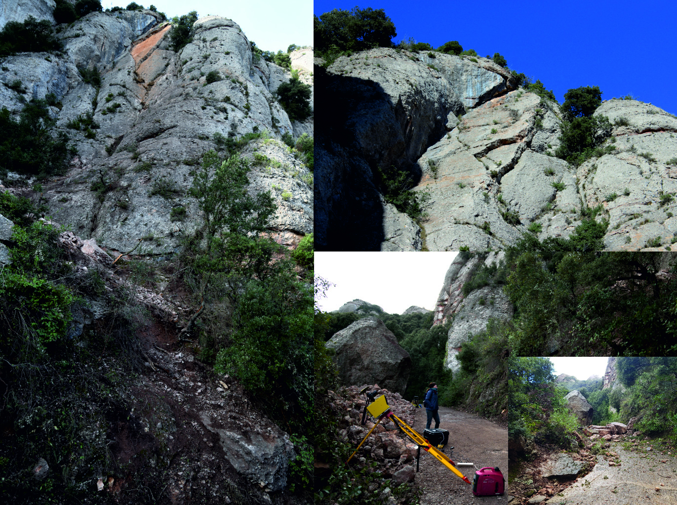
Monitoring of the mountain environment, including unstable hillslopes, cliffs, and flood-prone areas is key to: 1) improve the knowledge on the triggering mechanisms, process dynamics and magnitude-frequency of hazardous phenomena; and 2) develop effective methodologies and techniques to identify the occurrence of cascading geohazards.
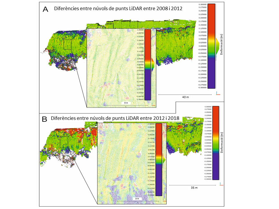
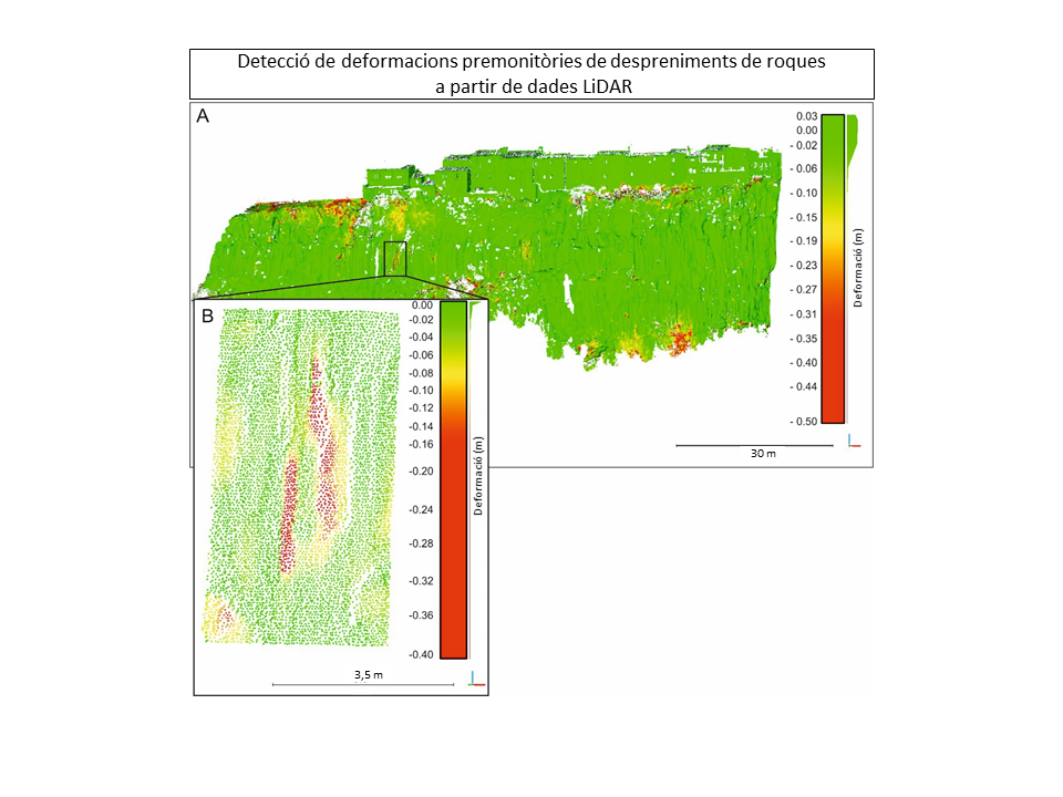
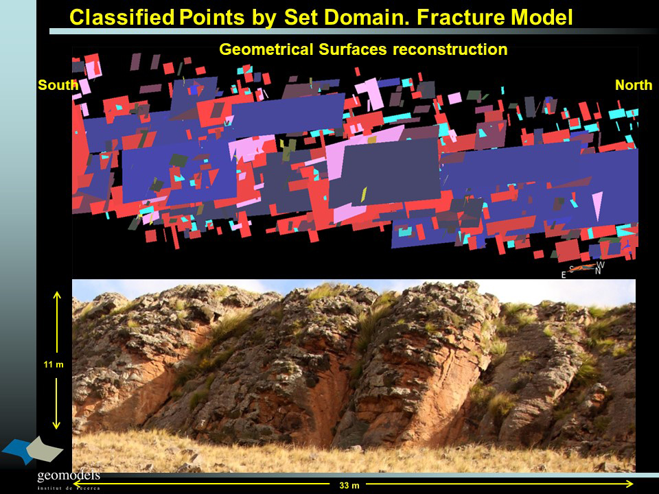
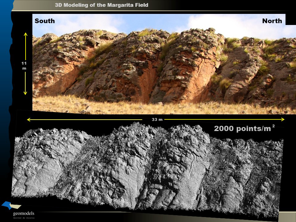
Multitemporal 3D point clouds comparison, and specific algorithms for 3D change detection can be applied not only to detect landslides, river bank erosion, rockfalls and their precursory indicators, but also to understand their dynamics. 3D point clouds can be acquired from: 1) Aaerial LiDAR datasets to detect geomorphological changes in large areas; 2) Terrestrial LiDAR (TLS) to obtain data from near-vertical cliffs; 3) Photogrammetric reconstruction using images acquired with fixed devices to increase the frequency of monitoring in specific locations; and 4) Photogrammetric reconstruction using mobile devices (UAV) to obtain high resolution DTMs in relatively wide areas. We have long experience in developing methods for automatic 3D change detection from LiDAR or photogrammetry point clouds and Digital Terrain Models (DTM), including AI.
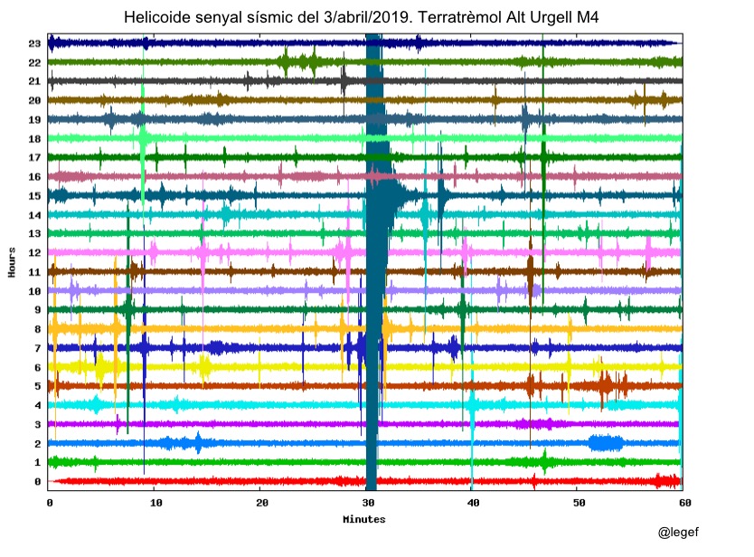
Furthermore, we have developed methods for automatic detection and dynamic characterization of processes such as rockfalls or snow avalanches by using seismic signals. The combination of different and complementary techniques such as aerial and terrestrial LiDAR, low-cost and high-resolution photogrammetry, and seismology together with specific workflows for data analysis will contribute to better understand the dynamics of geomorphological processes, to improve hazard analysis, and to determine prevention and protection strategies.
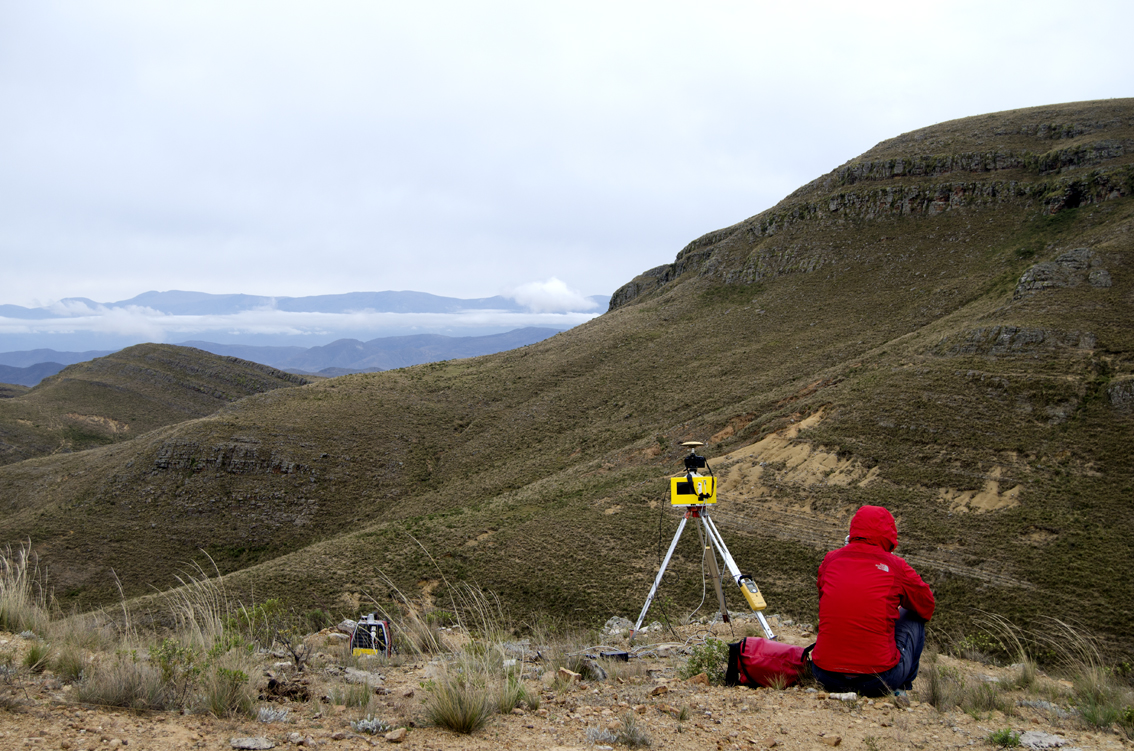
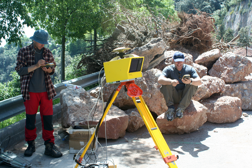
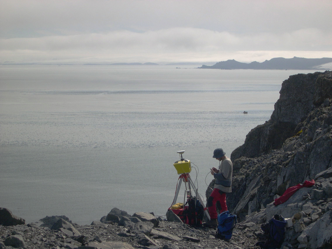
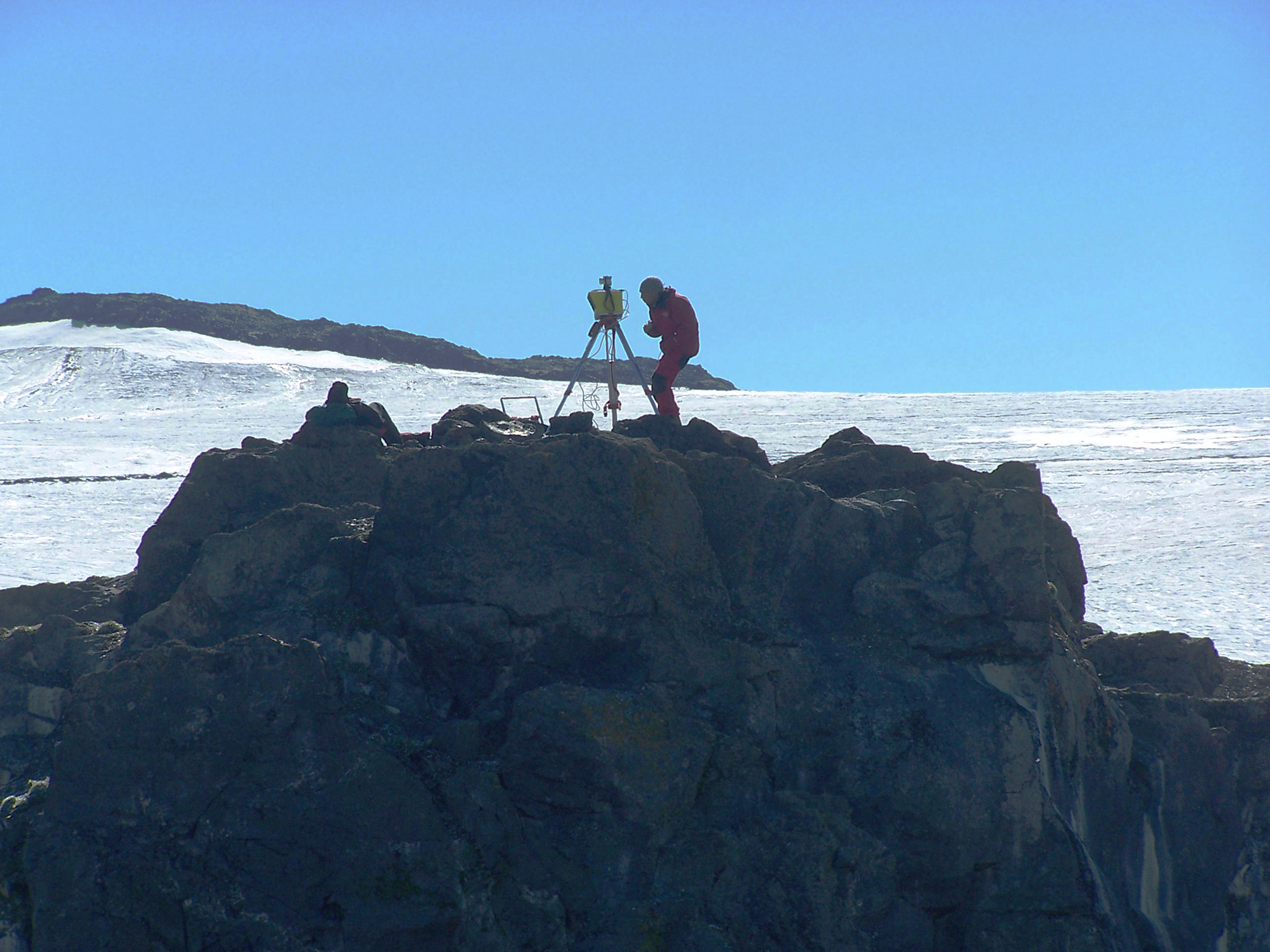
For the digital capture of outcrops we use different LiDAR (Light Detection and Ranging) devices (ILRIS 3D from the Teledyne company and different models from the LIVOX company), together with calibrated and non-calibrated digital cameras. For the georeferencing of digital data, we have DGPS (Differential Global Positioning System) TOPCON positioning equipment.
On its own, digital data capture sometimes becomes a major challenge. However, the study of geological processes also requires the processing of the data to isolate and extract the relevant information, based on an adequate quantification of uncertainties. This task is accomplished with the help of commercial computer software such as: ERDAS Imagine (Hexagon), PolyWorks (innovmetric), Microstation and Context Capture (Bentley), Metashape (Agisoft), GOCAD (Mira Geoscience), MathLab (MathWorks), Visual Studio (Microsoft). We also use free software, like CloudCompare, MicMac (IGN and ENSG), Anaconda and computer software developed by us; SEFL (Garcia-Selles et al., 2011; Garcia-Selles et al., 2018), PCM and Cluster Compare (Blanco et al., 2022).
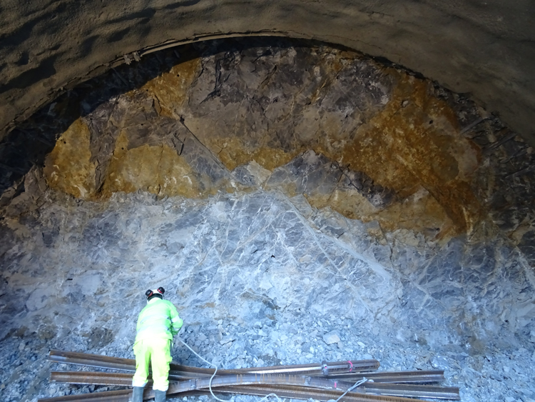
The methodology and workflows we use are constantly evolving and result of experience acquired over the years in the fields of glaciology, rock mass fracturing, mass movements and active tectonics in multiple study areas of the our planet.
