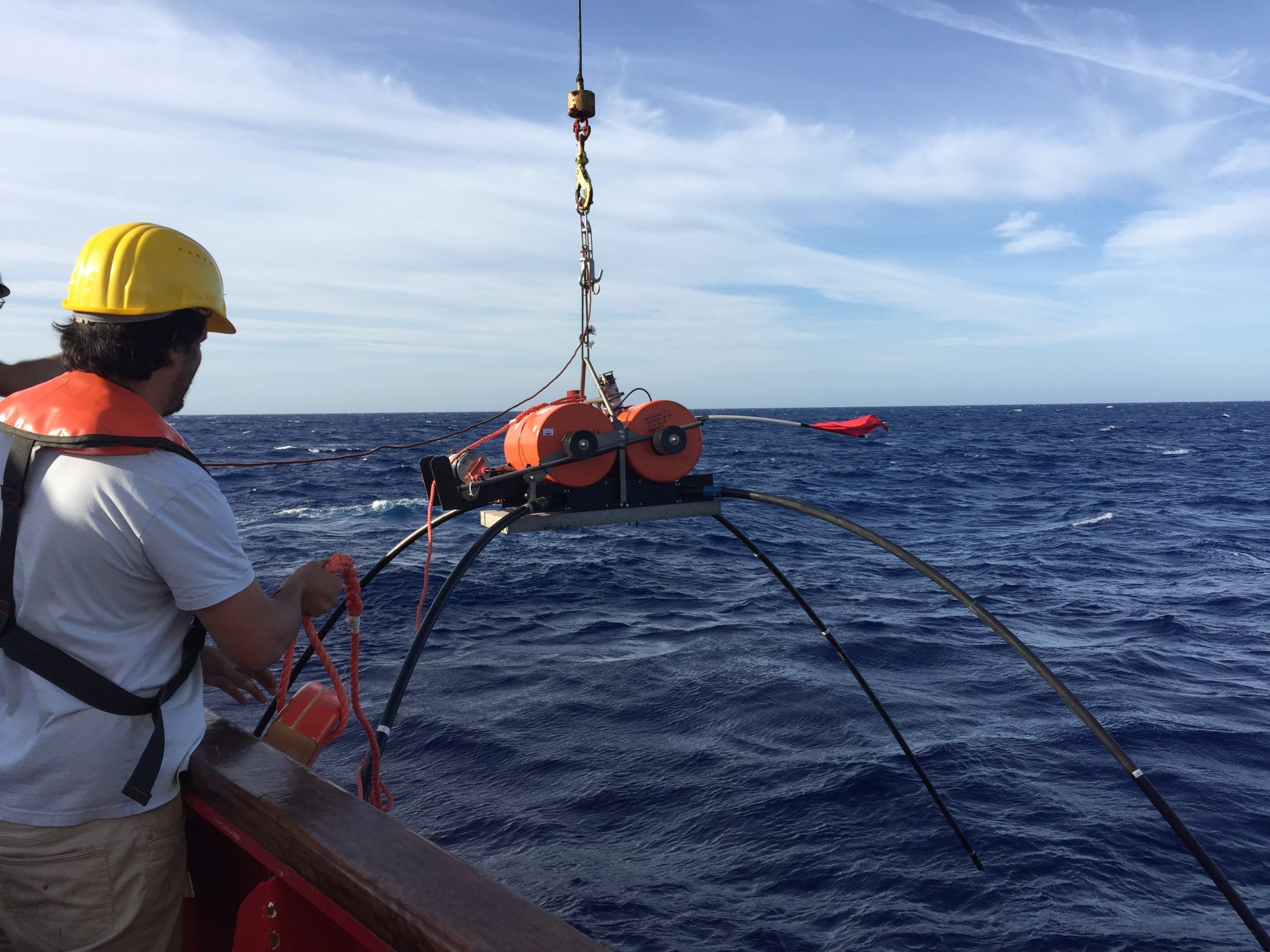
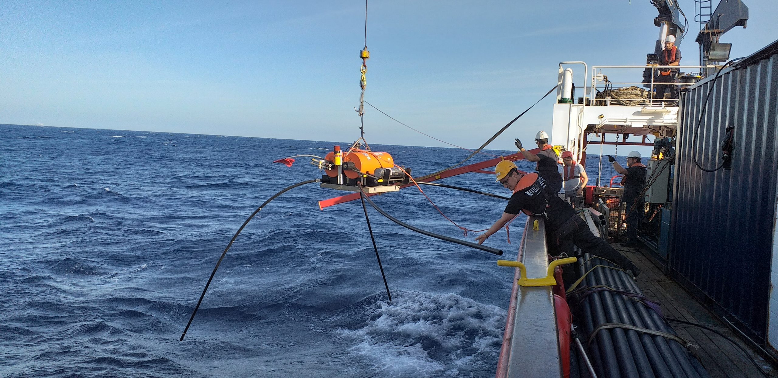
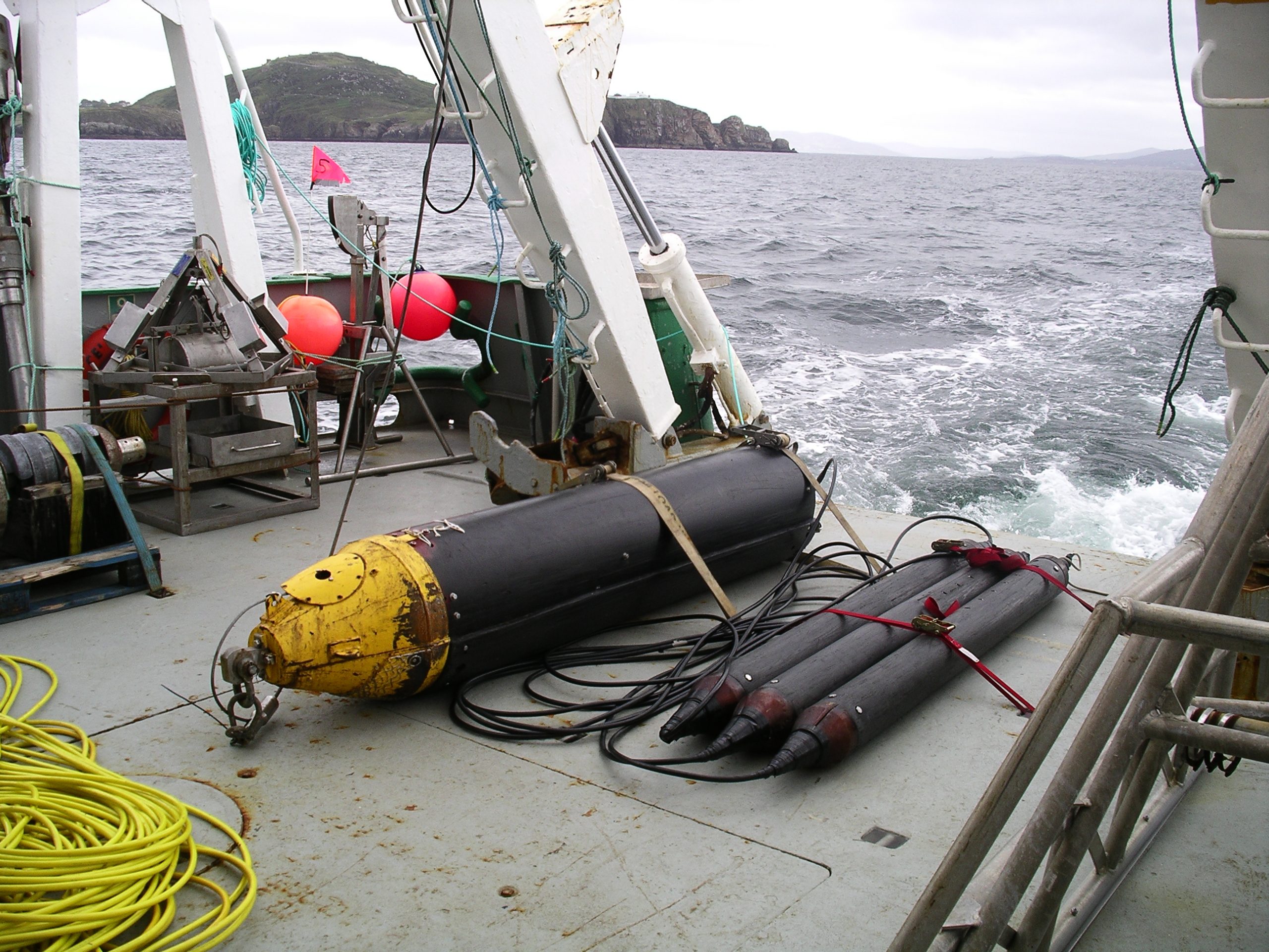
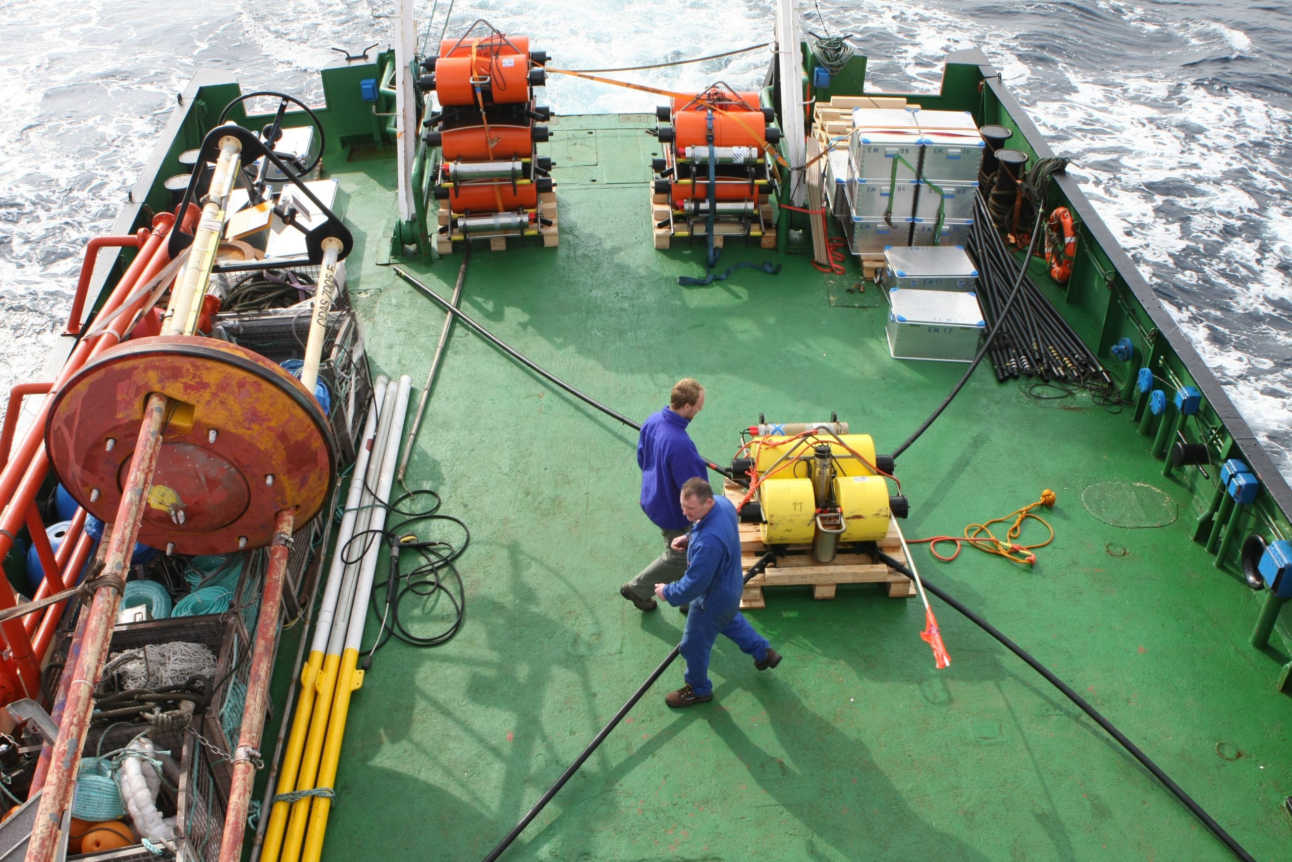
Magnetotelluric (MT) sounding is a passive method that uses naturally occurring variations in the Earth’s electric and magnetic fields to provide a frequency-dependent response sensitive to the subsurface electrical conductivity. Land MT studies have been used to image faults, map mineralizations and fluids, and tectonic settings. Marine MT studies have been used to image upper mantle melting and hydration at mid-ocean ridges and subduction zones.
Controlled-source EM (CSEM) sounding is an active-source technique that uses a deep-towed horizontal electric dipole (HED) to generate EM fields at higher frequencies than are typically measurable for the natural-source MT spectrum in deep water. The transmitted fields diffuse through the seabed, and the returning secondary fields are recorded simultaneously by the same OBEM sensors that record MT data at lower frequencies. CSEM data are primarily sensitive to resistive structures and pore fluids at crustal depths. It has been used mainly by the oil and gas industry to characterize reservoirs, but recently has also been used to map hydrates, salt domes and mud volcanoes, and off-shore groundwater systems. When used in combination with MT instruments, it allows for the characterization of the upper crust down to mantle depths, greatly improving their resolution

